Types of Clouds and Their Effects on Boating Conditions
Clouds are fascinating, not only because of the beautiful shapes they create in the sky, but also because they provide insights into upcoming weather conditions.
Their appearance depends on several factors, including their altitude, air temperature and the particles they contain. In this article, our experts present the main types of clouds to help you anticipate the weather while boating.
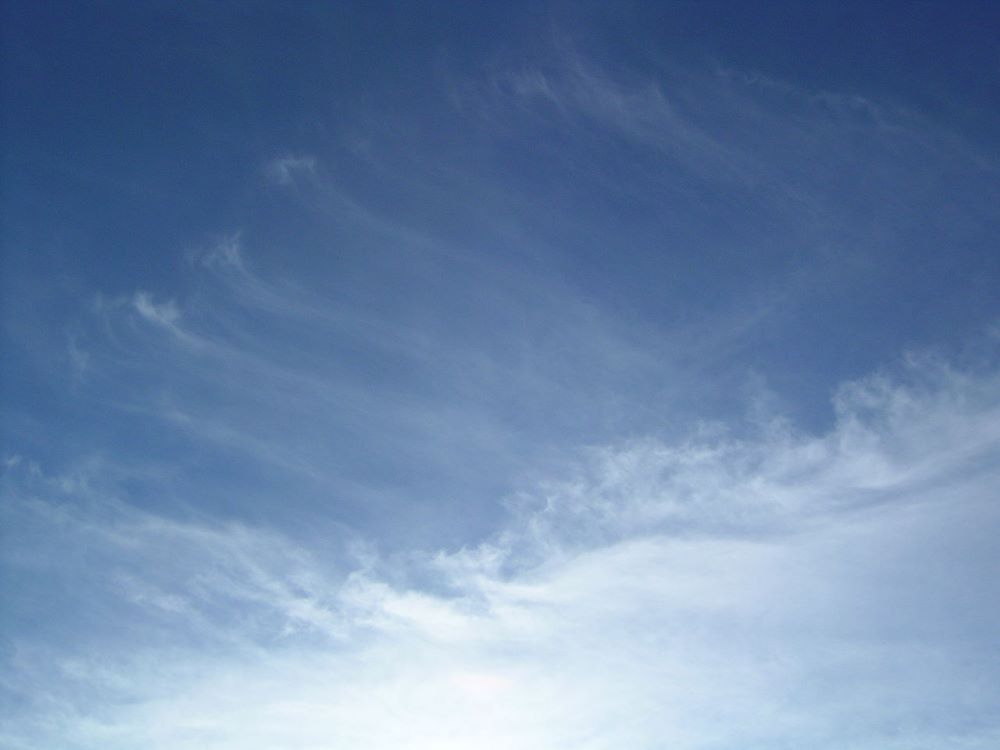
Cirrus clouds
Cirrus clouds are one of the types that form at the highest altitudes. They usually resemble fine, feather-light threads streaking across the sky. They are made up of ice crystals that can lead to atmospheric disturbances. Cirrus clouds are wispy enough that the sun usually shines right through them, although they may obscure it slightly.
The effects of cirrus clouds
Cirrus clouds are usually present during good weather, although they are often a precursor to other types of clouds that may bring about atmospheric disturbances. Precipitation from cirrus clouds does not reach the ground.
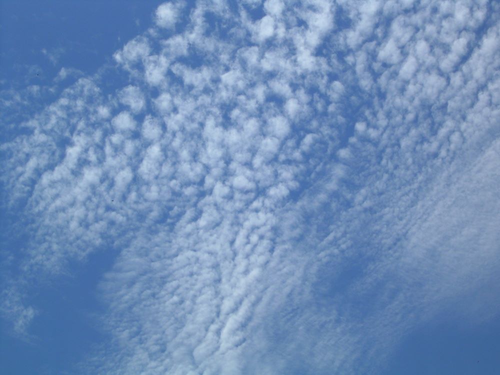
Cirrocumulus clouds
Like cirrus, cirrocumulus clouds are made up of ice crystals. They form lines or sheets of little white puffs across the sky. They provide more dense coverage than cirrus clouds but still let sunlight shine through in places.
The effects of cirrocumulus clouds
Cirrocumulus clouds aren’t harbingers of any particular type of weather, although they can indicate that change is on the way. Like cirrus clouds, they carry water that never reaches the ground.
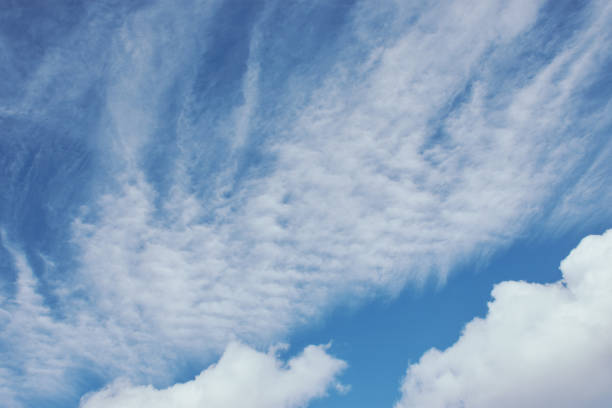
Cirrostratus clouds
The final type of high-altitude cloud is cirrostratus. Cirrostratus clouds form a thin, wispy veil that covers the sky. They often create a sort of halo effect around the sun or moon.
The effects of cirrostratus clouds
While cirrostratus clouds don’t announce any imminent precipitation, they do indicate that weather conditions will change within the next 24 hours. They can be taken as a sign that precipitation is on the way.
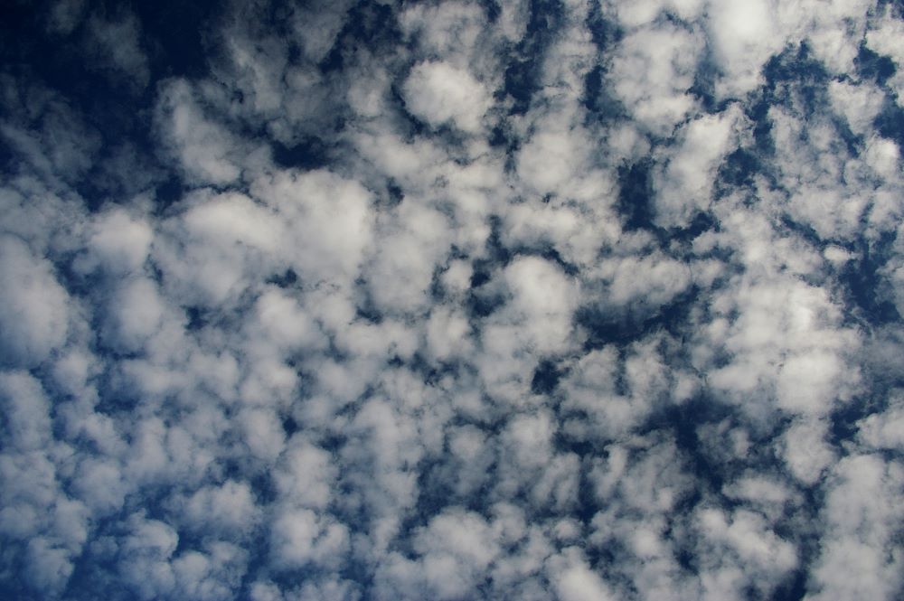
Altocumulus clouds
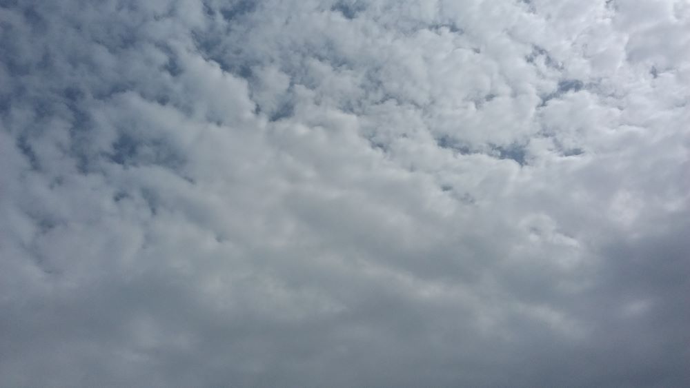
Unlike the clouds listed above, altocumulus clouds cover the sky in fluffy white clumps that cast shadows over the ground.
altocumulus clouds don’t affect the weather but indicate that conditions will change in the coming hours or days.
Altostratus clouds
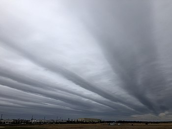
Altostratus clouds are thick, blueish sheets of cloud that can be fibrous in texture and tend to cover large parts of the sky. The sun may still shine through them at their thinnest points. They can sometimes be confused with cirrostratus, but they do not produce the same halo effect around light sources. It’s possible for several layers of altostratus to be present at once.
The effects of altostratus clouds
These particularly thick clouds bring light rain in summer and snow or ice in winter.
Nimbostratus clouds
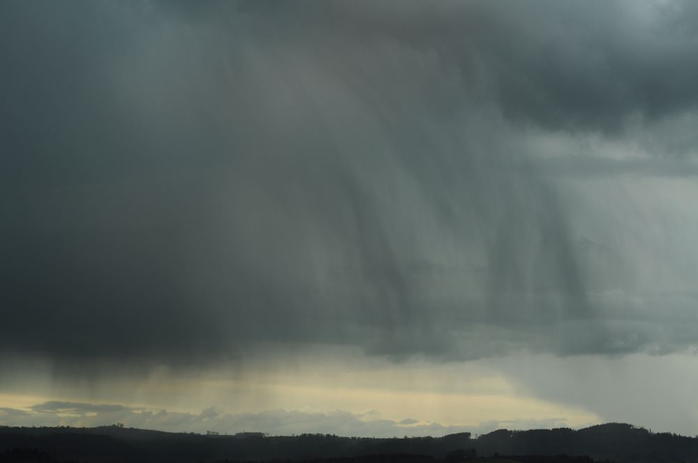
Nimbostratus clouds are thick, dark, gray rolls of cloud. Their appearance is often blurred by precipitation. They can sometimes seem lit from within, but are usually large and dense enough to obscure the sun. They are frequently accompanied by low clouds (pannus).
The effects of nimbostratus clouds
Nimbostratus clouds are heavy with moisture and usually bring continuous, intense rain or snow that can last all day. They may produce frozen precipitation in winter.
When boating in these conditions, it’s important to be aware of boating distress signals and have the necessary equipment on board so that you can use them if you need to.
Stratocumulus clouds
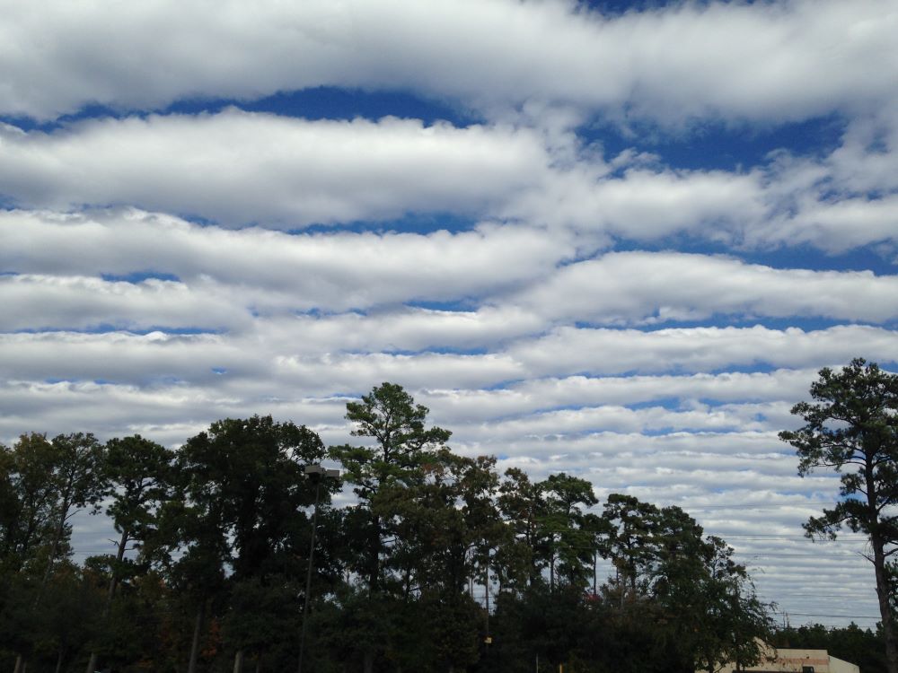
Though they resemble altocumulus, stratocumulus clouds occur at a lower altitude. They often form in rows, but are puffier than altocumulus clouds. Stratocumulus clouds are usually gray or whitish in colour, with some patches darker than others. They are the most common types of clouds.
The effects of stratocumulus clouds
Stratocumulus clouds are thick but rarely produce precipitation. They cover the sky, casting the ground into shadow and threatening stormy weather.
Stratus clouds
These low clouds form a dense gray layer that often extends right across the horizon. The bank of cloud will sometimes dissipate enough to give it a somewhat ragged appearance. Due to their low altitude, stratus clouds can obscure treetops, mountain ranges and cause fog in urban areas when combined with pollution.
The effects of stratus clouds
Apart from the fog they can bring, which usually disperses as the day wears on, stratus clouds may also produce short bursts of light precipitation such as drizzle or flurries of snow.
Cumulus clouds
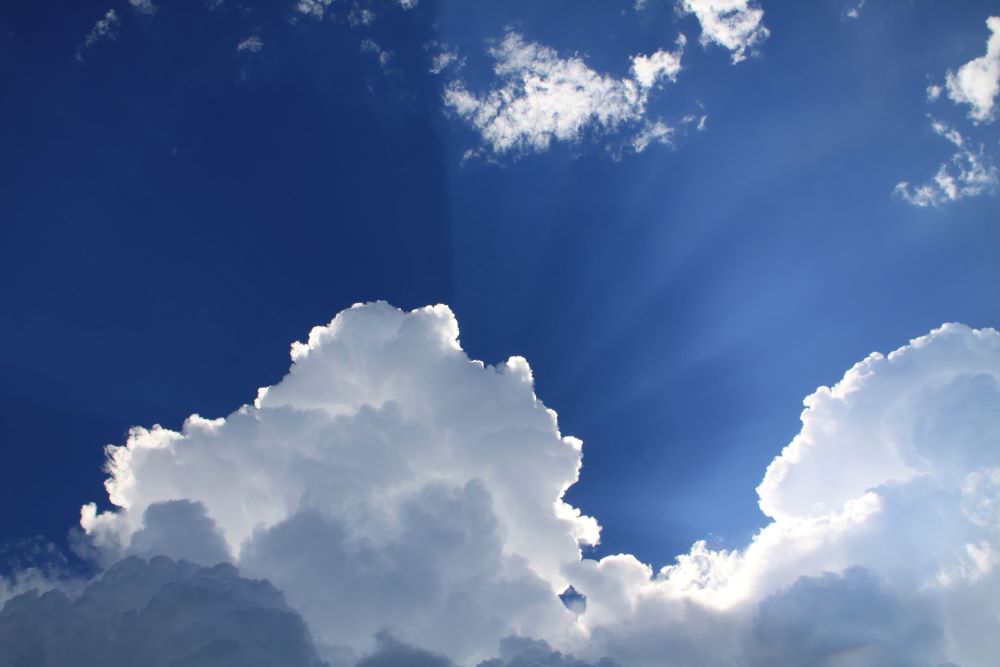
Cumulus clouds are the big, bright, cottony puffs we usually imagine when thinking about clouds. They have very defined edges and often create fantastical shapes in the sky. They tend to be darker at the base than at the top due to the interplay of sunlight and shadow.
The effects of cumulus clouds
These are fair-weather clouds that rarely result in precipitation. If they do bring any rain or snow, it will usually be short-lived.
Cumulonimbus clouds
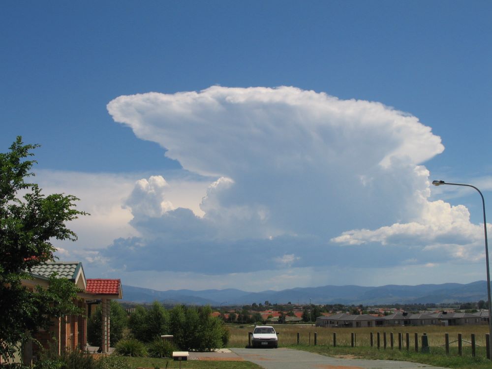
Cumulonimbus clouds are massive, menacing clouds with a top that is often shaped like a giant anvil. It’s important to watch out for these types of clouds when boating, because they can cause very hazardous weather.
The effects of cumulonimbus clouds
These clouds are signs of severe inclement weather. They can bring thunderstorms, rainstorms, hail and dangerous conditions such as tornadoes and strong winds.
If you encounter these clouds while out on the open sea, it’s best to turn on your navigation lights, make sure your safety equipment is ready for use and batten down the hatches!
Find out more about boating conditions with the National Boating Safety School
As you can see, some types of clouds can signal dramatic changes in weather. When boating, it’s important to be able to differentiate between them so that you can adapt to the situation if necessary.
To find out more about conditions that can affect boating, take the National Boating Safety School’s boater safety course and exam online. If you have additional questions, contact us! Our team will be happy to help.


