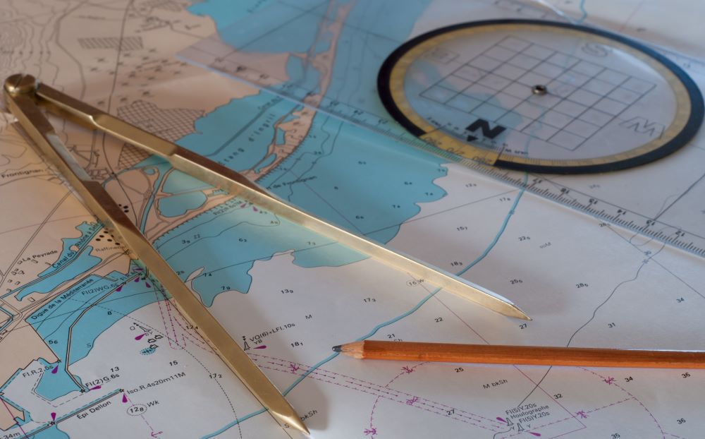
How to Read a Marine Chart
When boating, the ability to read a nautical chart allows you to orient yourself on the open waters. This is a prerequisite for all boat operators to avoid being stranded. To help you understand nautical marine charts, the National Boating Safety School explains what you need to know.
How important is reading a nautical chart when boating?
A nautical chart is a representation of the ocean floor in the form of a paper map. This chart is published by the Canadian Hydrographic Service to assist captains in their navigation and to show the types of seabed, water bodies and oceans.
Being able to read a nautical chart is important to guide you on the water, but above all to identify hazardous areas to avoid running aground or causing an accident.
Understanding marine chart symbols
You’ll find various symbols, abbreviations and terms on your chart and may find yourself in tricky situations if you’re not familiar with them. Even if you have all the required boating safety equipment on board, it is still best to avoid having to use it.
Another point is that a nautical chart, like a fishing chart, is drawn following the contour lines and nature of the seabed. The nomenclature is used internationally and is adapted according to the country.
Marine chart colours
The colours on a nautical chart indicate the depths and types of seabed. Here is what each colour represents:
- White represents deep water, when you are off the coast
- Blue represents shallow water, between 0 and 10 meters. The darker the blue, the less water there is. You are therefore getting closer to the shoreline
- Green indicates the foreshore. In other words, the strip of coastline that is covered at high tide, but uncovered at low tide
- A yellow brown indicates the shoreline
- Pink represents the lighthouses at harbor entrances, underwater cables and restricted areas
Depth, soundings and isobaths
The numbers on a marine chart are also important for navigation. They provide more information about the depth of the waterbed and give a more specific indication of elevation. They can also indicate the presence of objects or rocks that are not always visible depending on tides and weather conditions.
- A single, italicized number indicates a sounding that is always covered, regardless of the tide level. 5 indicates 5m of water with a bottom at -5m below sea level during low tides. Isobaths (depth) will be highlighted in blue.
- An italicized and underlined number symbolizes the height of the bedrock when it is uncovered at low tide. If it is in parentheses, it indicates an offset between the actual location and the sounding.
- A number in brown italics indicates the land elevation of the coast. The lettered abbreviations will provide more detail on the hazardousness of the soundings:
| ED | Existence doubtful |
| SD | Sounding doubtful |
| REP | Reported, but not surveyed |
Letters
Often near the shore, these markers indicate the characteristics of the waterbed. This information is important for anchoring a boat.
Capital letters
These indicate the type of bed:
| S | Sand |
| R | Rock, Rocky |
| M | Mud |
| Wd | Weed (including kelp) |
| Sh | Shells (skeletal remains) |
| St | Stones |
| G | Gravel |
| P | Pebbles |
| Bo | Boulders |
| Co | Coral and Coralline algae |
When two letters are separated by a slash, this indicates that you are dealing with a mixed seabed. The first letter will always indicate the majority type.
Lower case letters
They will indicate the quality of the seabed:
| so | Soft |
| f | Fine |
| m | Medium |
| sy | Sticky |
| sf | Stiff |
| h | Hard |
| bk | Broken |
Danger warnings
Depending on the waters you navigate, you may find letters that indicate other dangers:
| Wk | Wreck |
| Obstn | Obstruction |
| Coral | Coral Reef |
Reading a nautical chart in practice
The first step in reading your nautical chart is to set up your navigation plan. Once you’re on the water, use your magnetic compass and navigation radar to guide you. Your chart will keep you informed about the type of seabed you’re navigating and where to anchor.
Marine nautical charts also come in handy when weather conditions change and high winds arrive without warning. You’ll have a better understanding of the seabed and where to find safety and refuge as soon as possible.
Refine your marine chart knowledge with the National Boating Safety School
A nautical chart is a very useful tool for recreational and commercial navigation. All over the world, boat captains use them to find their way around the water and identify the seabed.
As a key part of your boating license, the National Boating Safety School provides an online boating safety course to help you learn everything you need to know before taking the official online boating exam. Register now to get your license and start navigating on the water.

